Content
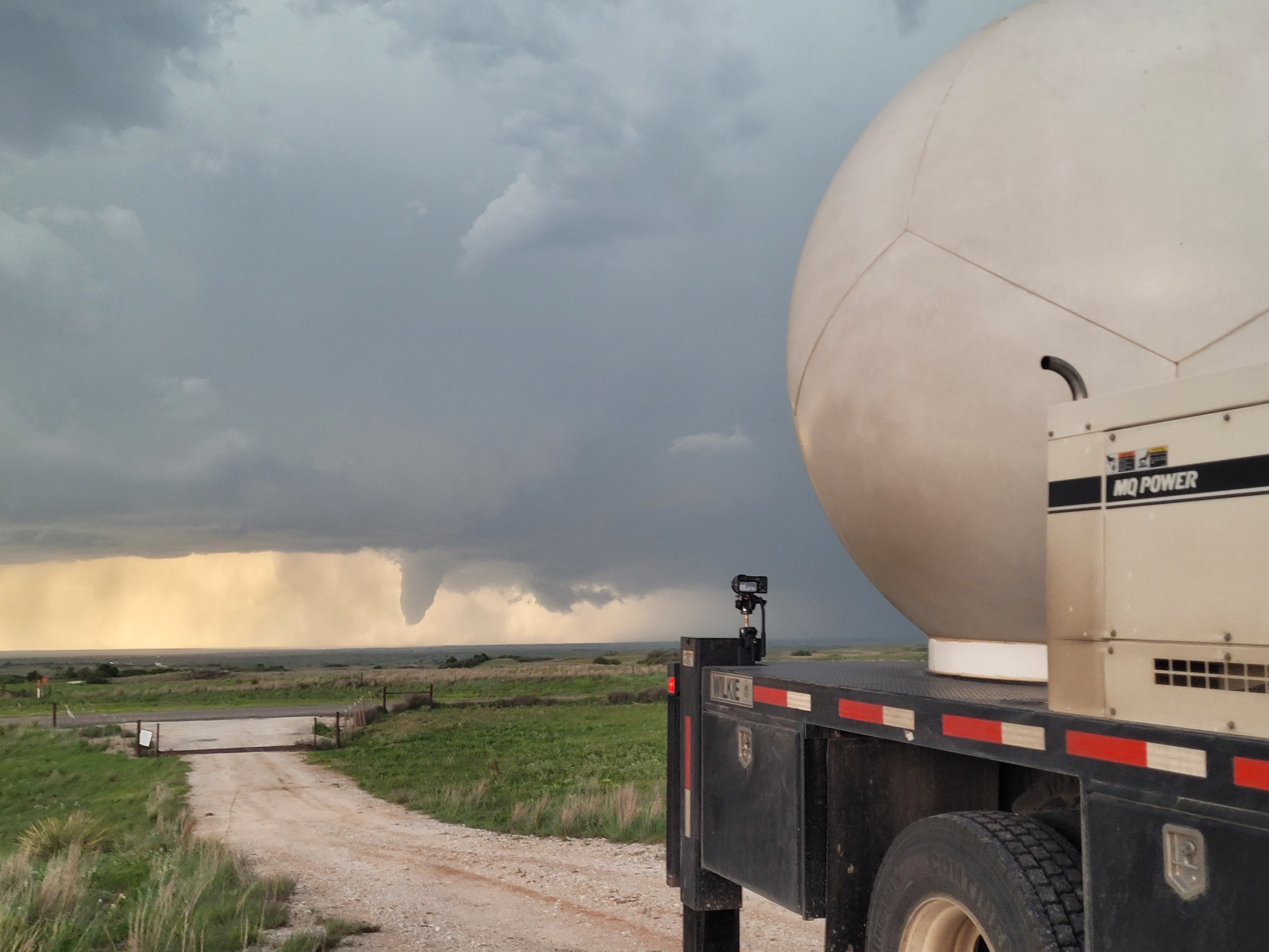
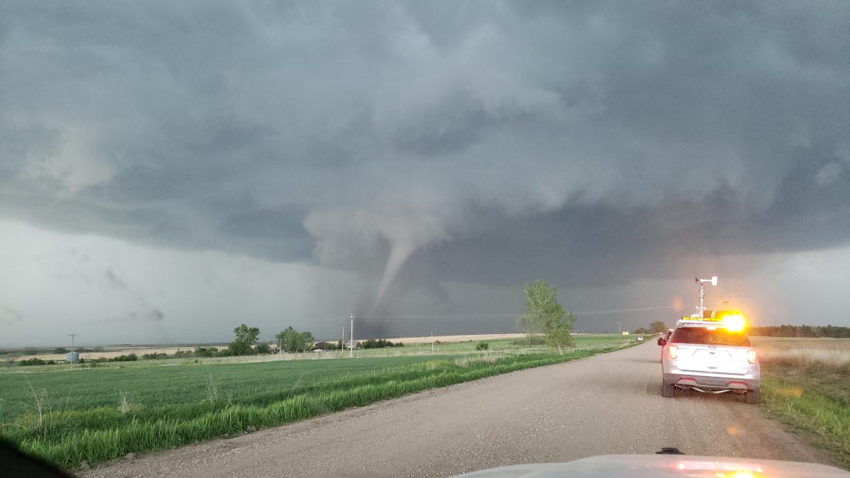
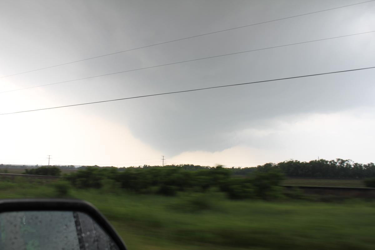
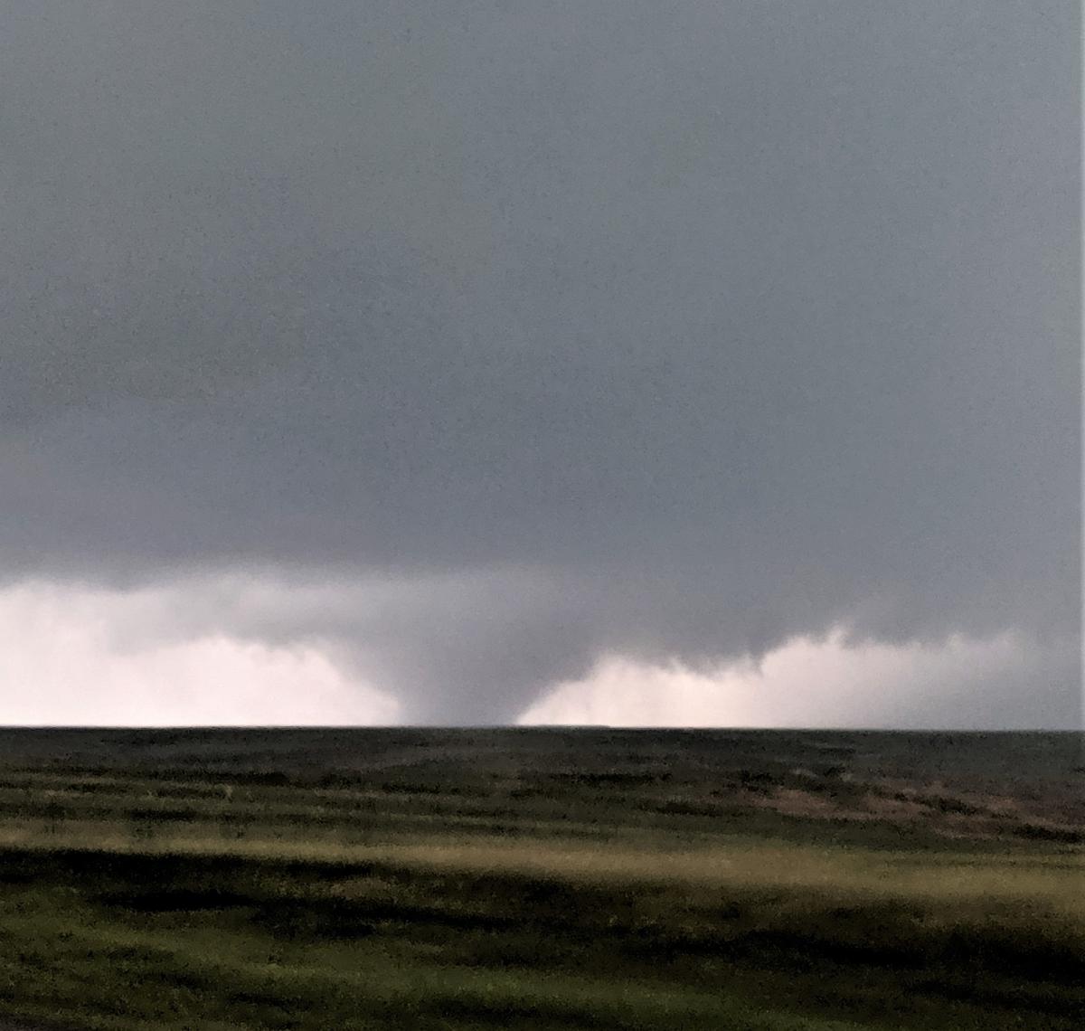
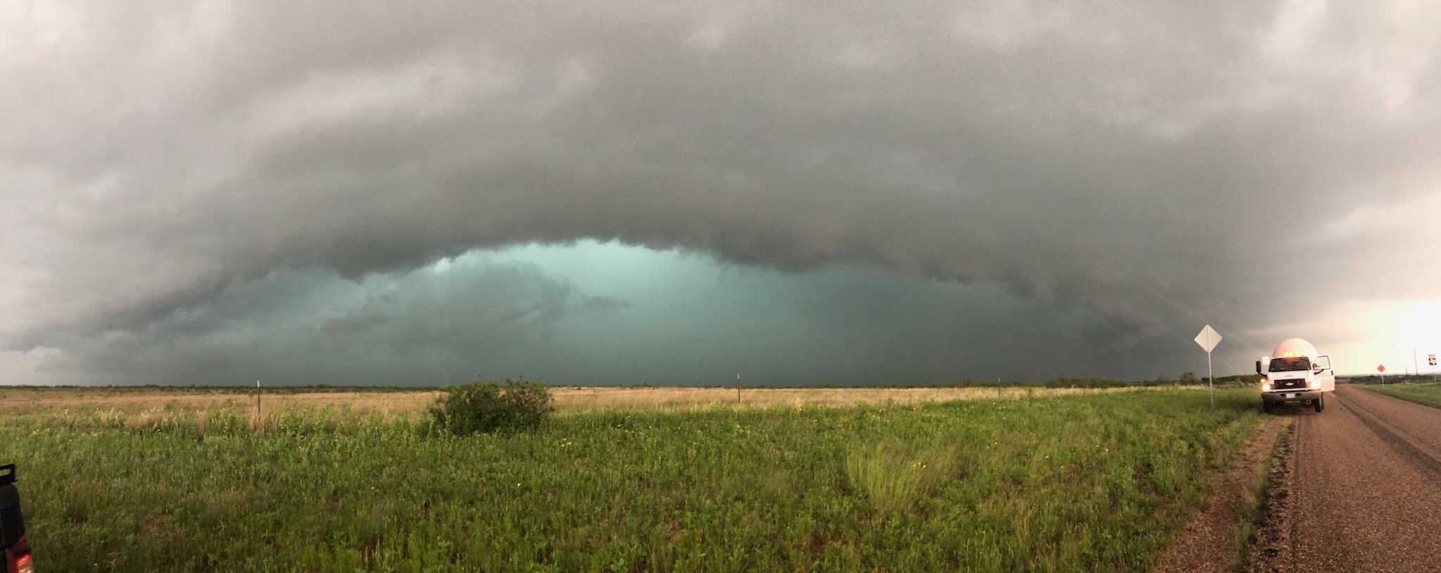
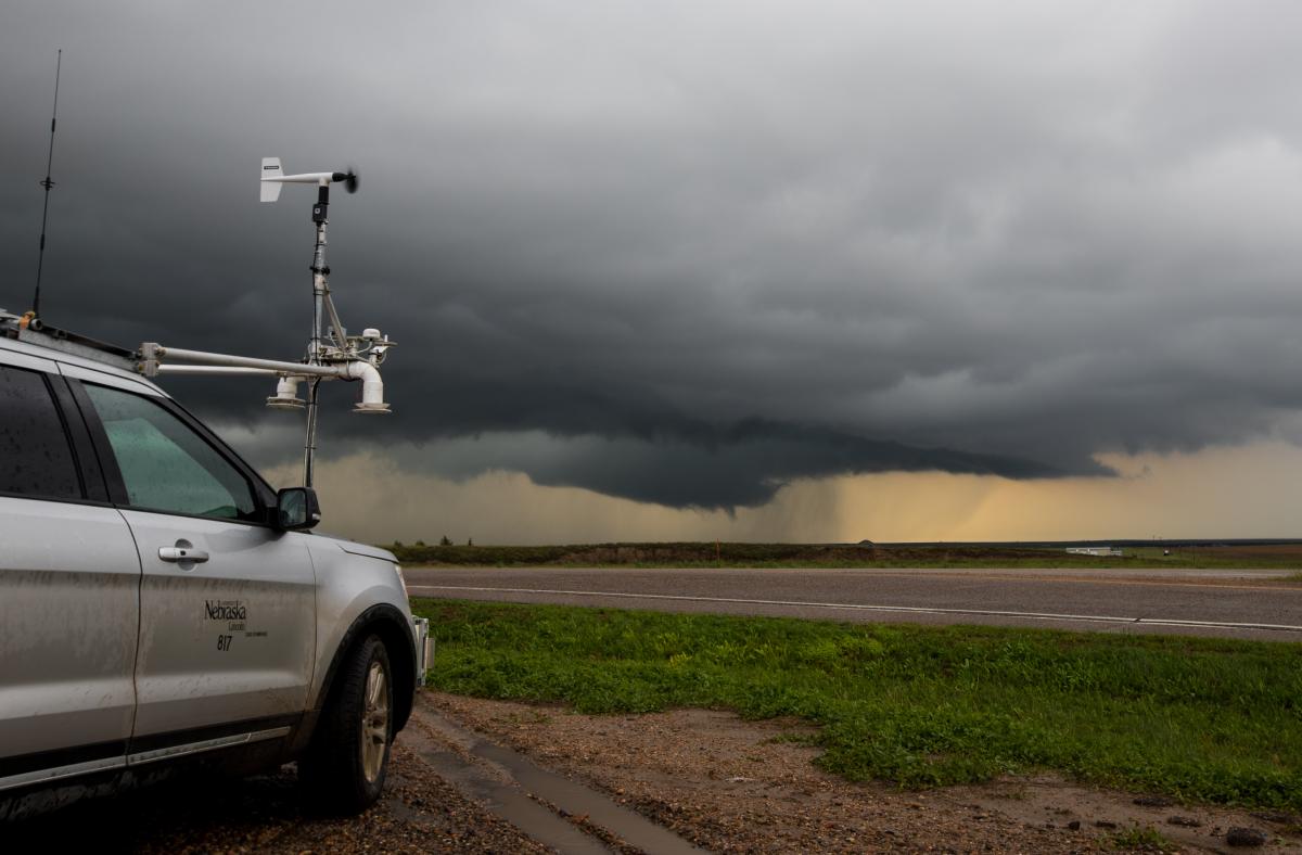
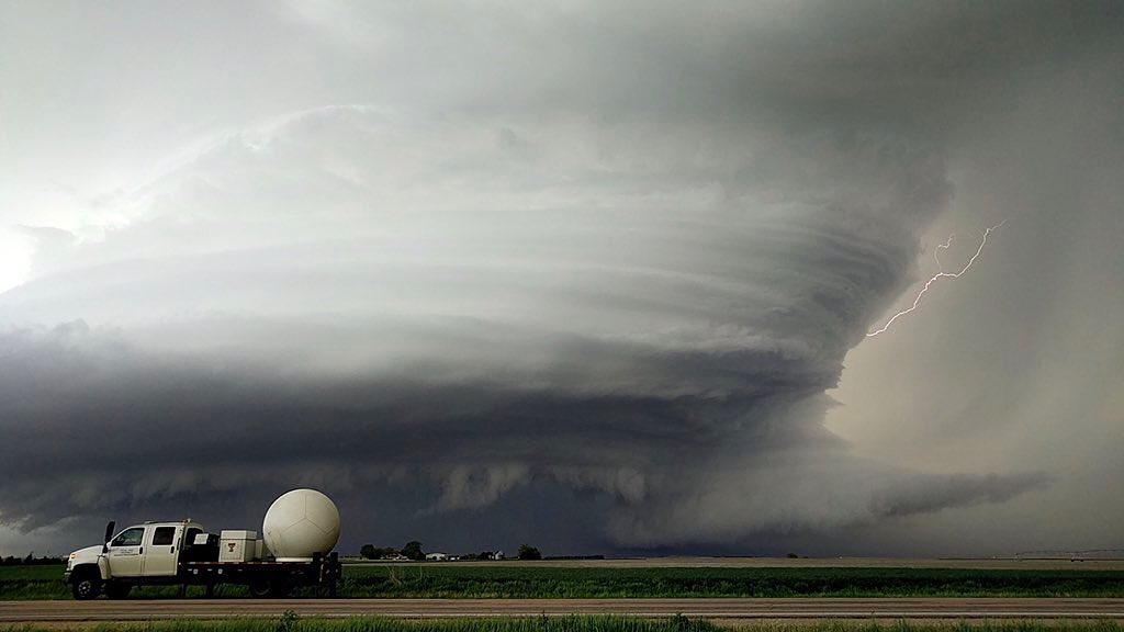
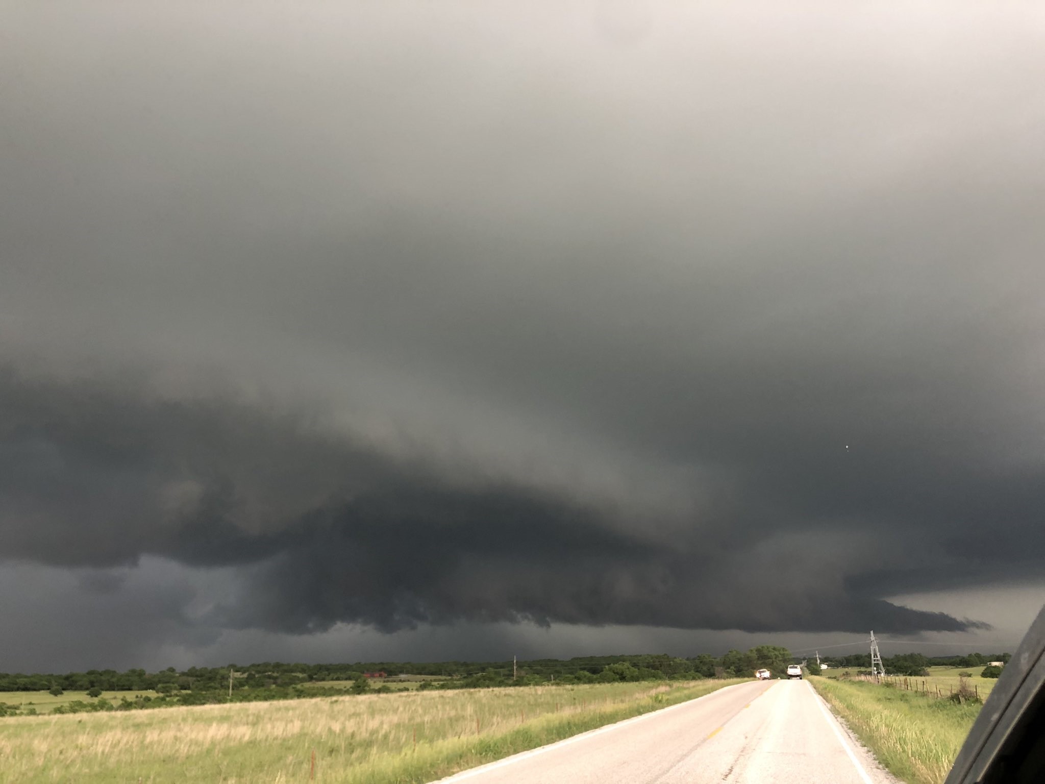
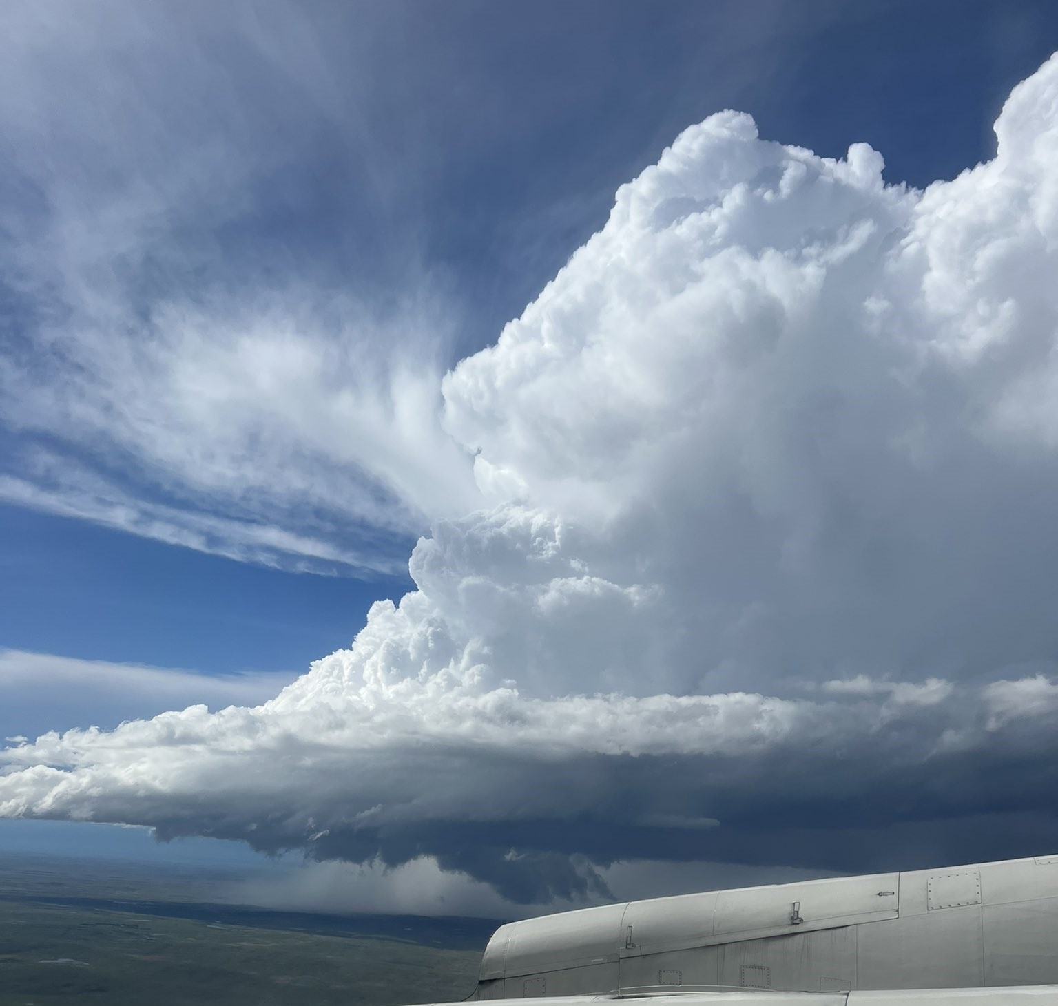
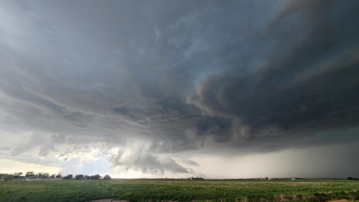
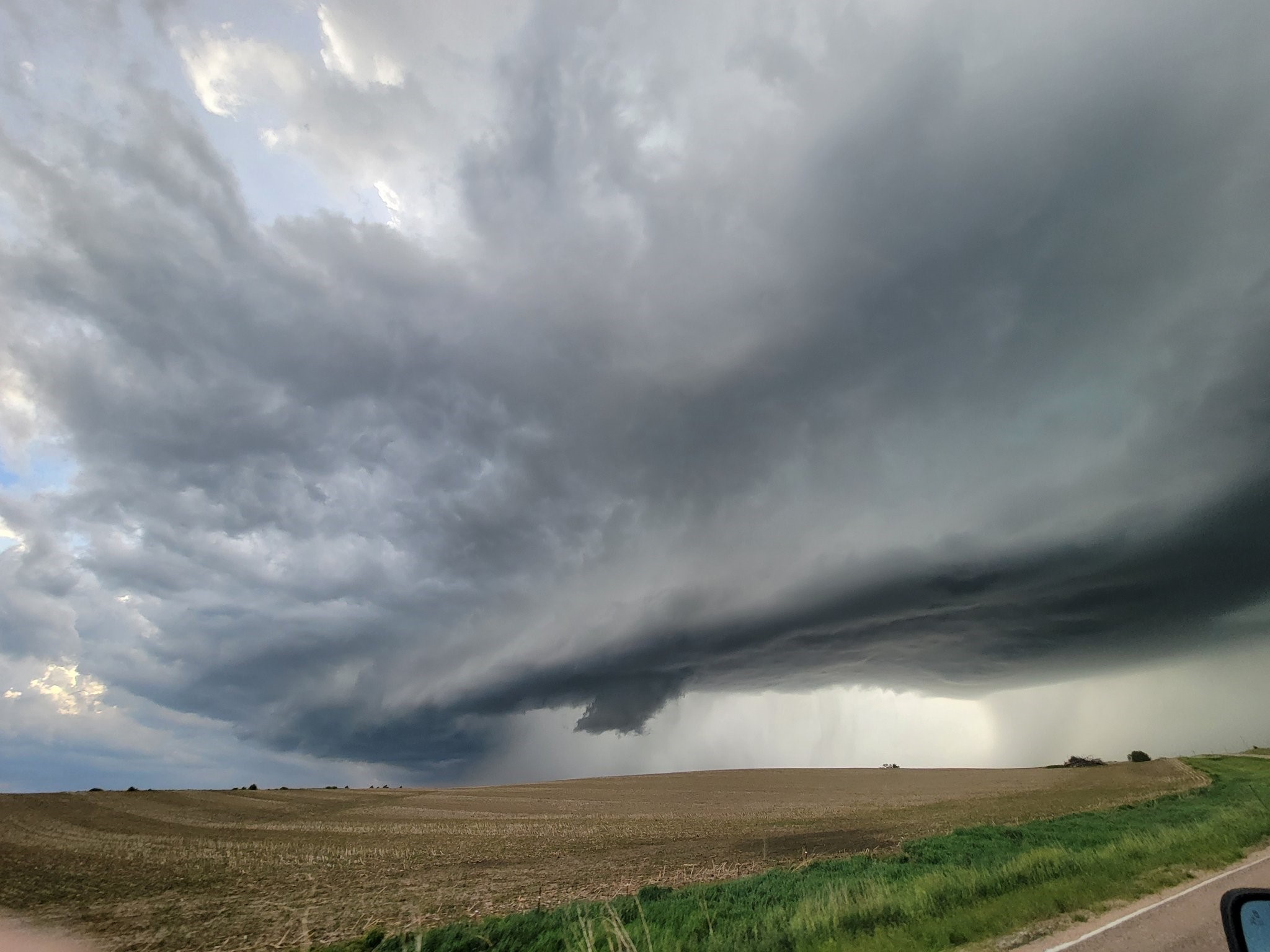
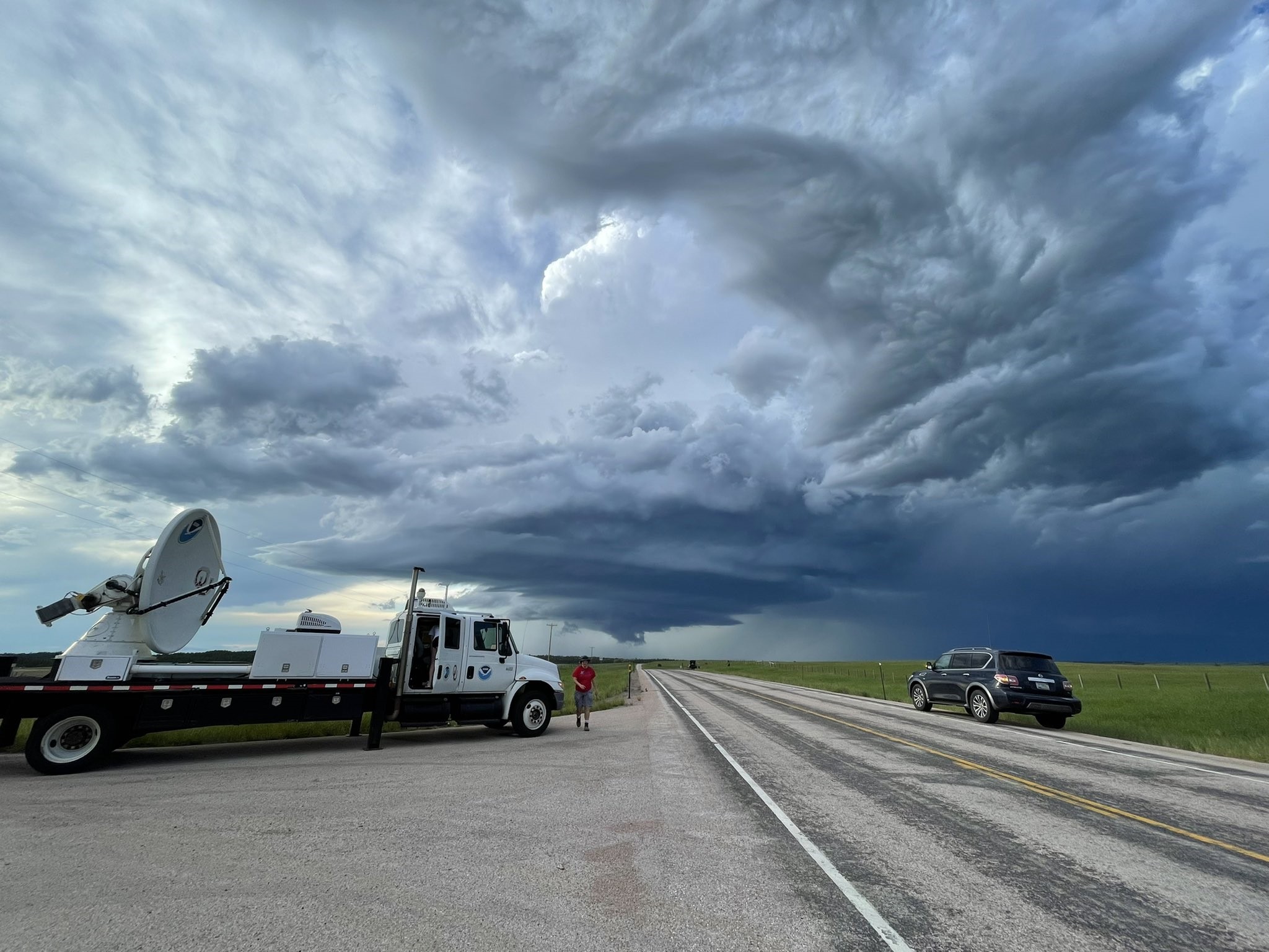
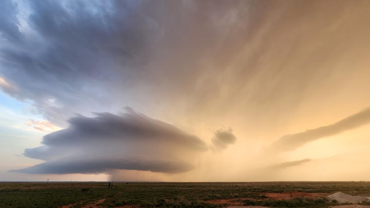
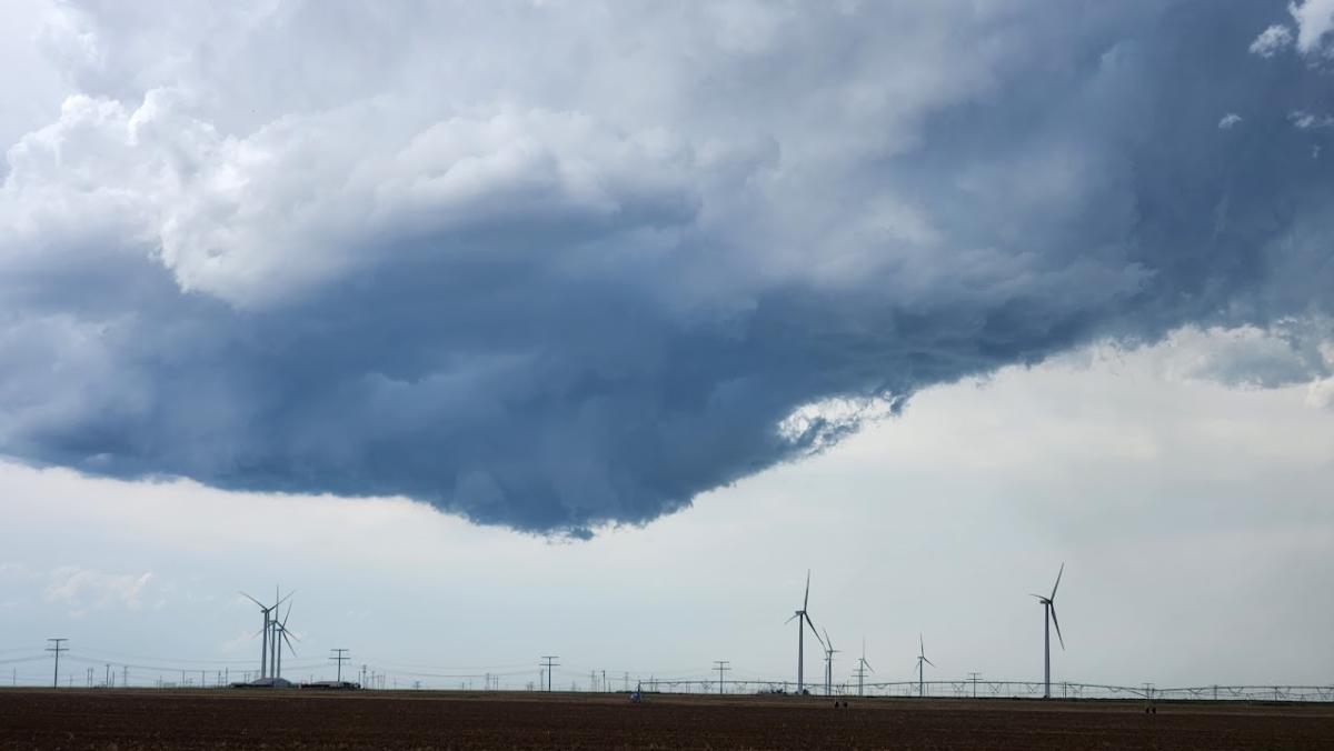
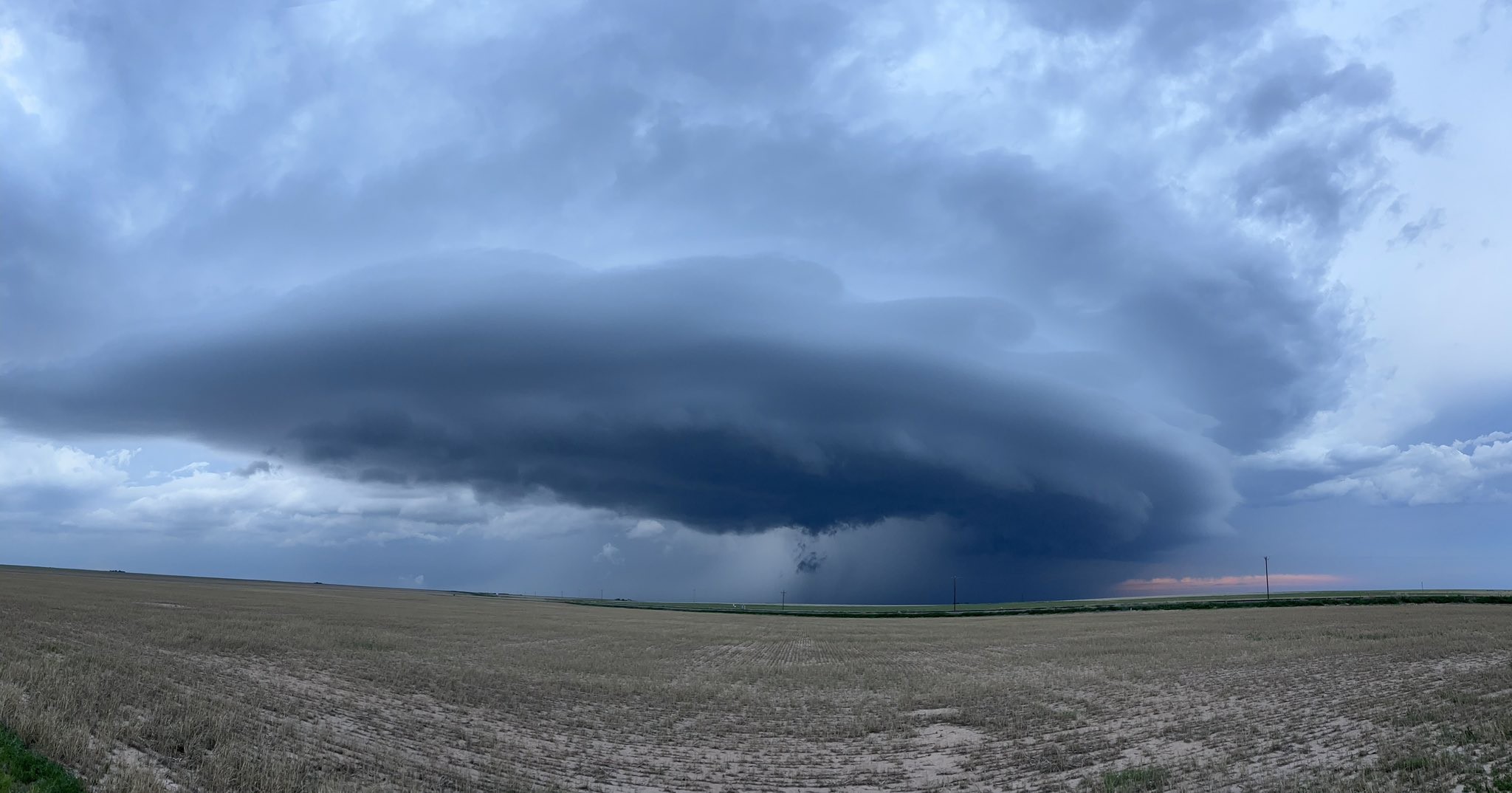
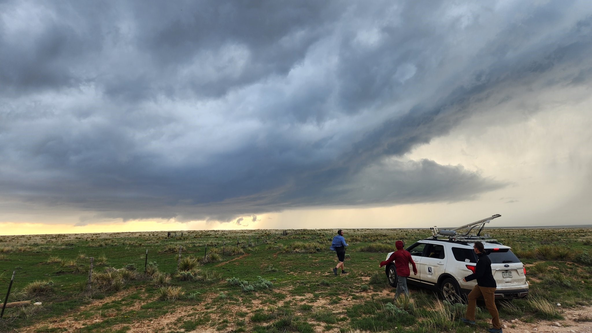
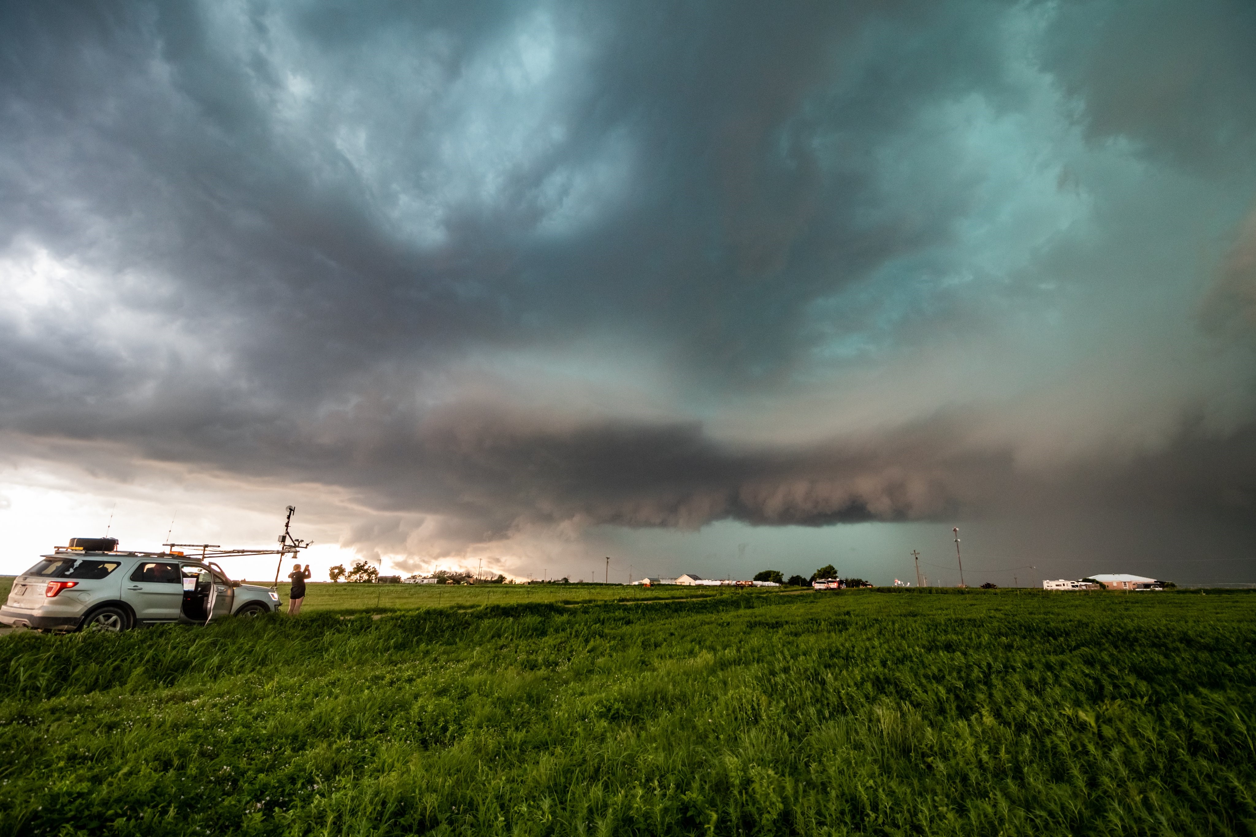
TORUS is a collaborative research project funded by the National Science Foundation and the National Oceanic and Atmospheric Administration to use radars and unoccupied aircraft systems to study supercell thunderstorms.
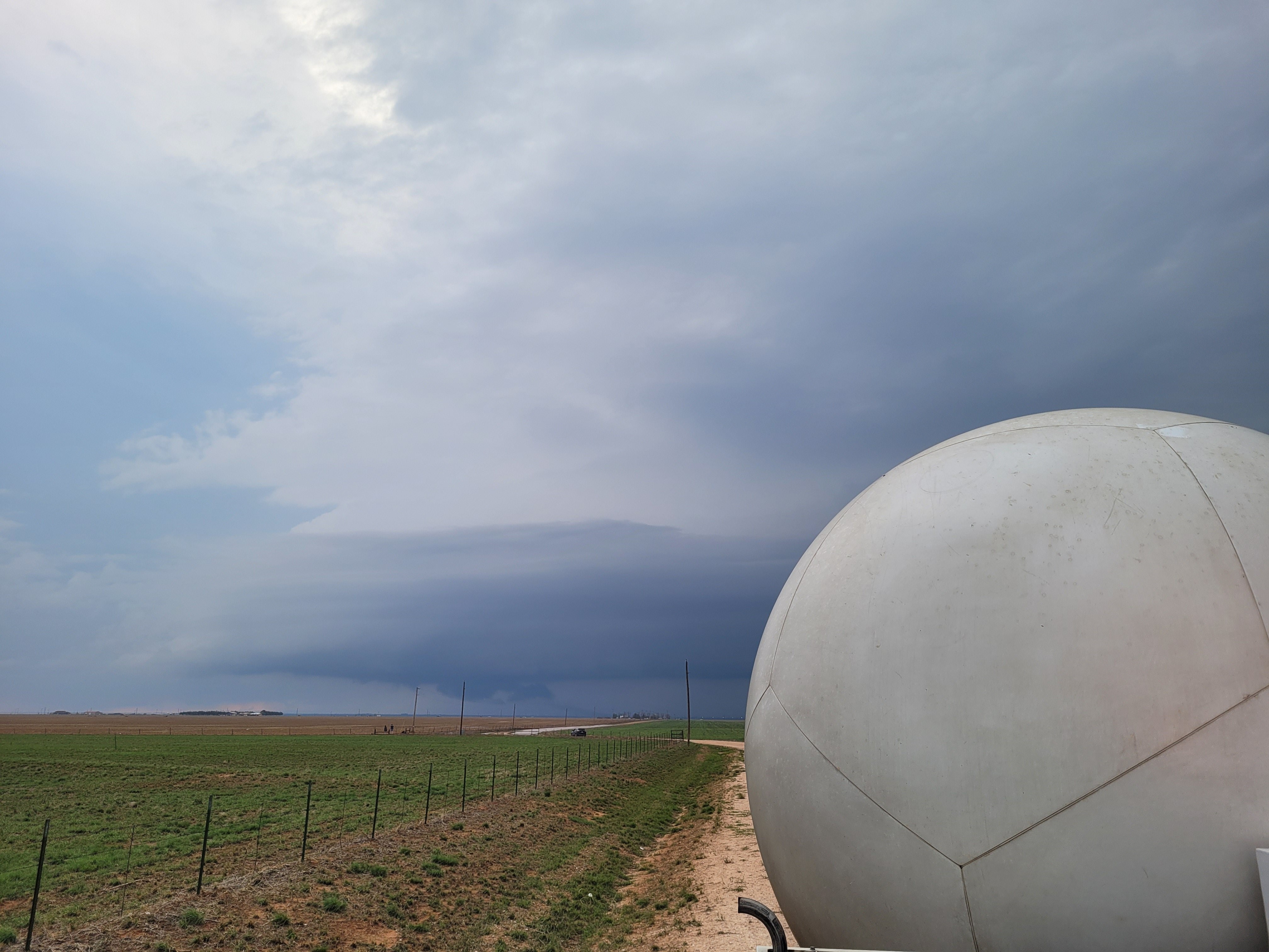
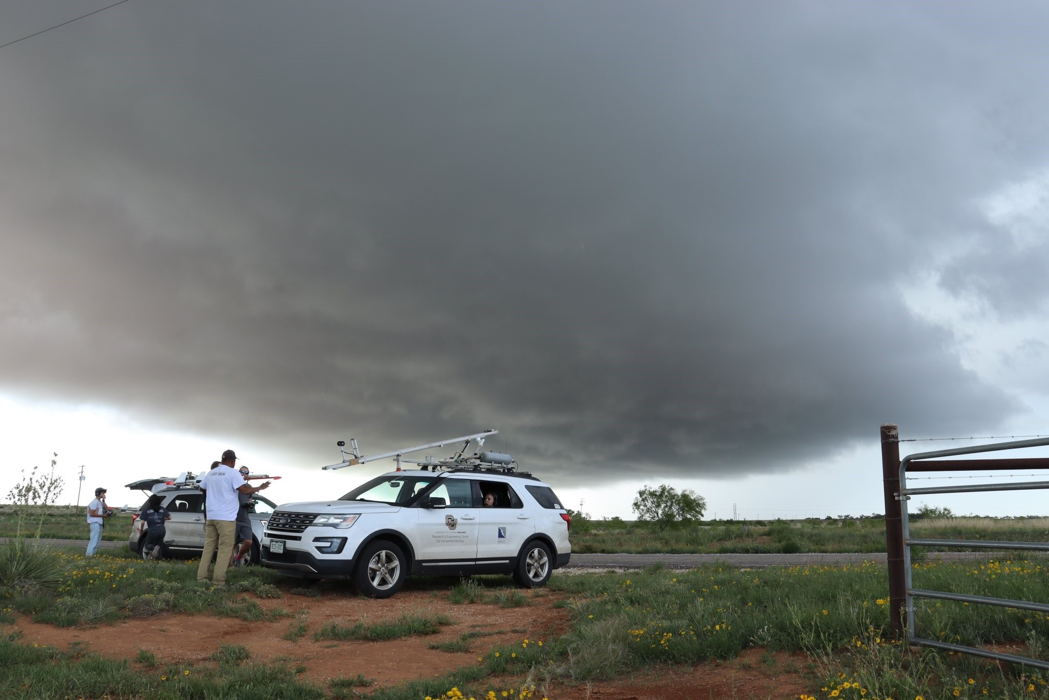
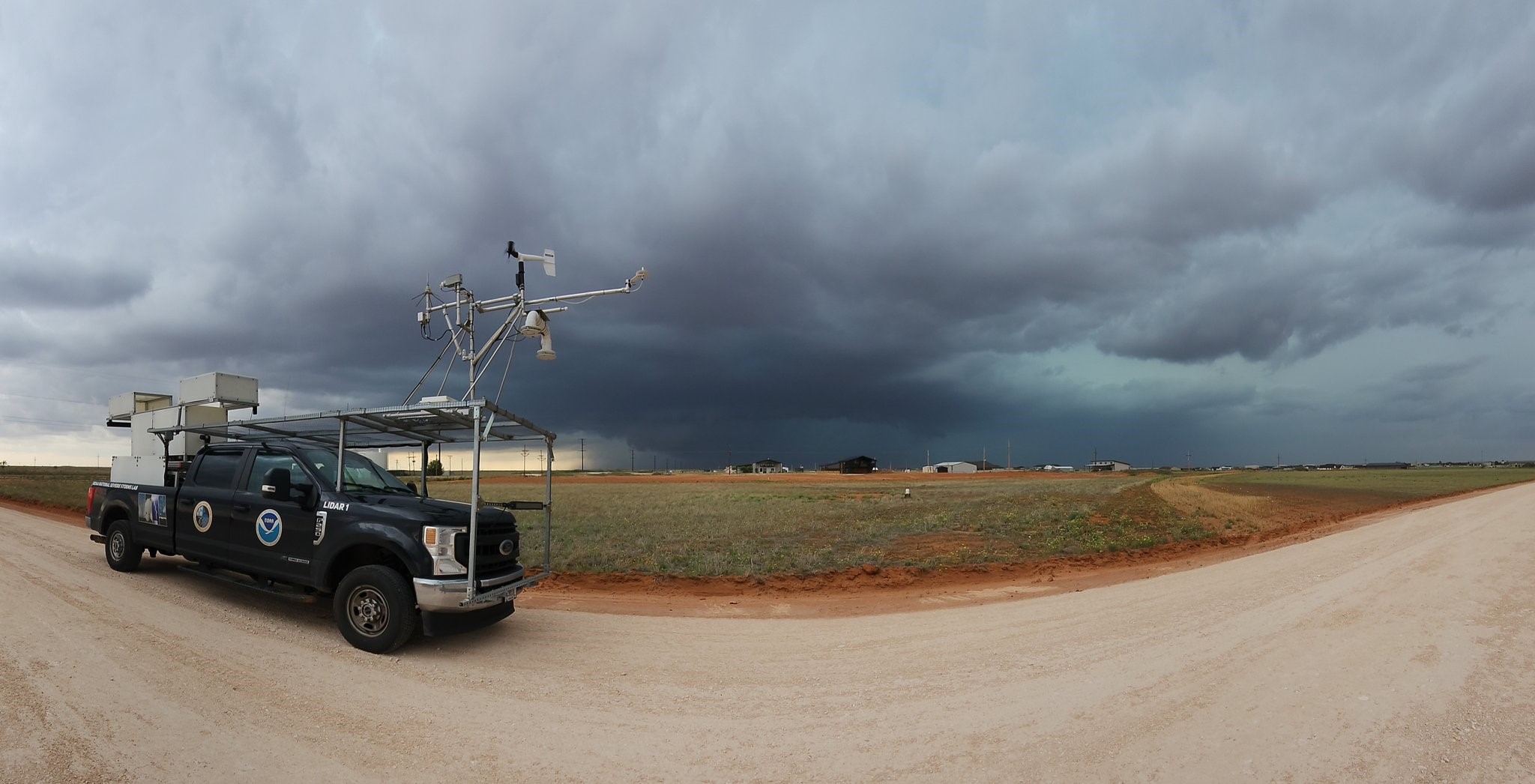
More than 50 scientists and students deployed a broad suite of cutting-edge instrumentation into the US Great Plains.
The first field season was conducted in 2019, the second in 2022, and the last, under the moniker TORUS-LItE (Left-Flank Intensive Experiment), was conducted in 2023. Led by the University of Nebraska-Lincoln, TORUS also involves the University of Colorado Boulder, Texas Tech University, the NOAA National Severe Storms Laboratory, and the Cooperative Institute for Severe and High-Impact Weather Research and Operations. TORUS instrumentation included unoccupied aircraft systems (drones), mobile radars, mobile mesonets (trucks mounted with meteorological instrumentation), a mobile LIDAR (similar to a radar but using an eye-safe laser), mobile sounding systems (balloon-borne sensor packages), and the NOAA P3 manned aircraft.
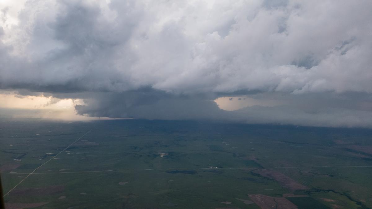
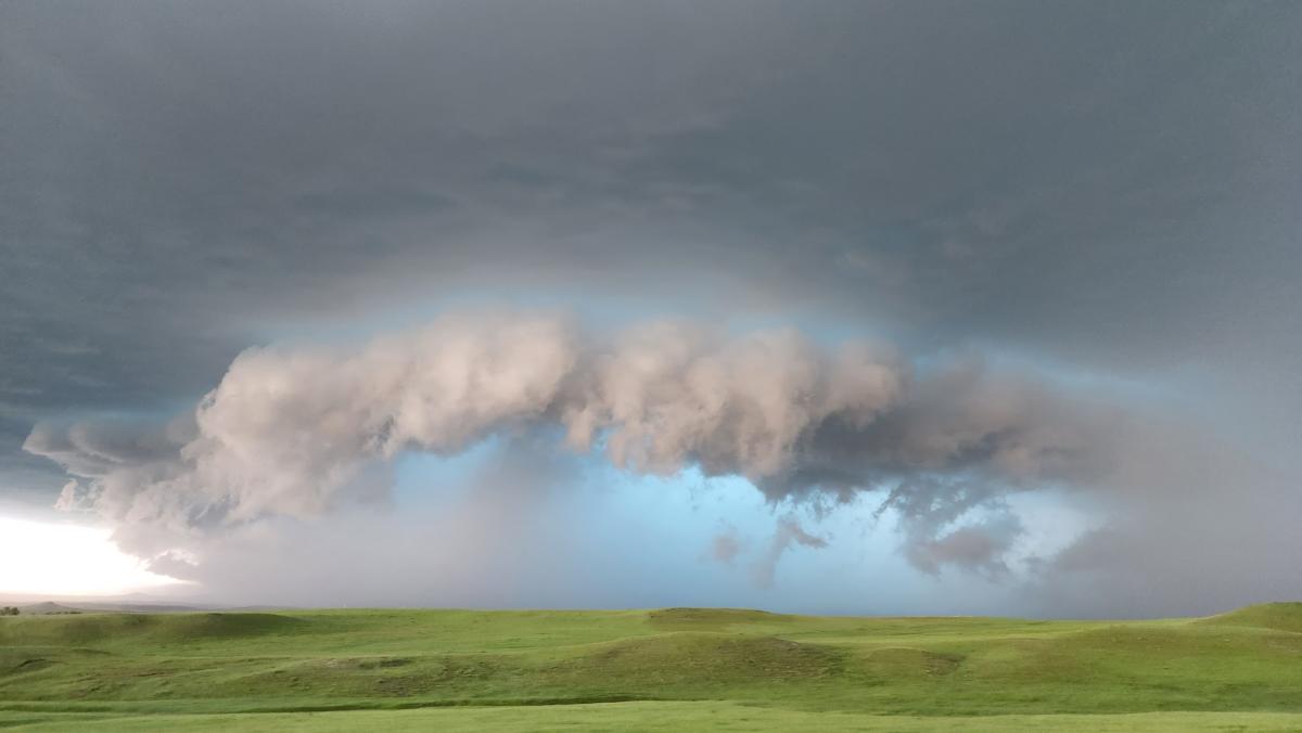
TORUS aims to use the data collected to improve the conceptual model of supercell thunderstorms (the parent storms of the most destructive tornadoes) by exposing how small-scale structures within these storms might lead to tornado formation. These structures are hypothesized to be nearly invisible to all but the most precise research-grade instruments. But by revealing the hidden composition of severe storms and associating it to known characteristics of the regularly-observed larger scale environment, the TORUS project could improve supercell and tornado forecasts.
Summary of Key TORUS Deployments
Keys for graphical deployment summaries for TORUS-2019, TORUS-2022, and TORUS-LItE
2019-05-17
- Near Farnham, NE: 40.496997,-100.23232
- Graphical deployment summary (mov)
- Access Field Catalog
- Pubs using data for this date: Laser et al. (2022), Frew et al. (2020), Coniglio and Parker (2020)
2019-05-20
- Near Mangum, OK: 34.66971, -99.6843
- Graphical deployment summary (mov)
- Access Field Catalog
- Pubs using data for this date: Laser et al. (2022), Frew et al. (2020), Coniglio and Parker (2020)
2019-05-23
- Near Canadian, TX: 36.203288,-100.27906
- Graphical deployment summary (mov)
- Access Field Catalog
- Pubs using data for this date: Laser et al. (2022), Coniglio and Parker (2020)
2019-05-24
- Near Matador, TX: 34.006401,-100.85778
- Graphical deployment summary (mov)
- Access Field Catalog
- Pubs using data for this date: Coniglio and Parker (2020)
2019-05-26
- Near Lamar, CO: 38.157685,-102.74003
- Graphical deployment summary (mov)
- Access Field Catalog
- Pubs using data for this date: Coniglio and Parker (2020)
2019-05-27
- Between Fort Morgan, CO and Imperial, NE: 40.263188,-102.71757
- Graphical deployment summary (mov)
- Access Field Catalog
- Pubs using data for this date: Lin et al. (2023), Coniglio and Parker (2020)
2019-05-28
- Near Tipton, KS: 39.444722,-98.115425
- Graphical deployment summary (mov)
- Access Field Catalog
- Pubs using data for this date: Axon et al. (2023), Coniglio and Parker (2020)
2019-06-02
- Near Boise City, OK: 36.734219,-102.55375
- Graphical deployment summary (mov)
- Access Field Catalog
2019-06-08
- Near Goodland, KS: 39.343562,-101.51850
- Graphical deployment summary (mov)
- Access Field Catalog
- Pubs using data for this date: Wilson et al. (2023), Lin et al. (2023), Coniglio and Parker (2020)
2019-06-11
- Near Greensburg, KS: 37.685209,-99.318343
- Graphical deployment summary - Pre-convective (mov)
- Graphical deployment summary - Storm (mov)
- Access Field Catalog
- Pubs using data for this date: Lin et al. (2023), Coniglio and Parker (2020)
2019-06-13
- Near Boise City, OK: 36.560433,-102.60708
- Graphical deployment summary (mov)
- Access Field Catalog
2019-06-15
- Near Vega, TX: 35.041899,-102.40140
- Graphical deployment summary (mov)
- Access Field Catalog
- Pubs using data for this date: Lin et al. (2023)
2022-05-23
2022-05-24
2022-05-30
2022-05-31
- Near Arkansas City, KS: 37.13836,-97.03169
- Graphical deployment summary (mov)
- Access Field Catalog
2022-06-06
- Near Merriman, NE: 42.87954,-101.86350
- Graphical deployment summary (mov)
- Access Field Catalog
2022-06-07
- Near Sedgwick, CO: 40.93998,-102.51749
- Graphical deployment summary (mov)
- Access Field Catalog
2022-06-09
2022-06-11
- In northeastern WY: 44.89099,-104.51707
- Graphical deployment summary (mov)
- Access Field Catalog
2022-06-12
- Near Belle Fourche, SD: 44.64550,-103.89634
- Graphical deployment summary (mov)
- Access Field Catalog
2023-05-23
2023-05-24
2023-05-26
2023-05-27
2023-06-01
- Near Colorado City, TX: 32.4795, -100.9709
- Graphical deployment summary (mov)
- Access Field Catalog
2023-06-02
- Near Seminole, TX: 32.7473, -102.7088
- Graphical deployment summary (mov)
- Access Field Catalog
2023-06-09
- Near Silverton, TX: 34.36249, -101.3135
- Graphical deployment summary (mov)
- Access Field Catalog
2023-06-11
- Near Kim, CO and Boise City, OK: 37.22529, -103.3546
- Graphical deployment summary (mov)
- Access Field Catalog
2023-06-12
- Near Bueyeros and Nara Visa, NM: 35.6410,-103.0556
- Graphical deployment summary (mov)
- Access Field Catalog
2023-06-13